Garmin eTrex Touch 35
Never available again
View alternatives in the sidebar
Specifications
Product
Product number | 643301 | |
|---|---|---|
Manufacturer code | 010-01325-11 | |
Brand | Garmin | |
Warranty | 2 years | |
Processing of your defect | Via Coolblue |
Physical properties
Height | 10,2 cm | |
|---|---|---|
Width | 5,8 cm | |
Depth | 3,3 cm | |
Weight | 159 g | |
Color | Black | |
Built-in camera |
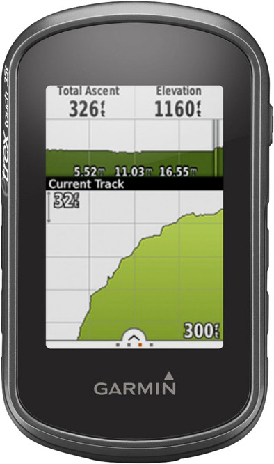
Screen
Screen size | 2,6 inches | |
|---|---|---|
Touchscreen | ||
Color screen |
Navigation
Global satellite navigation system | GLONASS, GPS | |
|---|---|---|
Quick GPSfix | ||
Trackback feature | ||
Tracklog points | ||
Uploading routes possible | ||
Useful places | ||
Geocache function | ||
Compass | ||
Altimeter | ||
Type of altimeter | Barometric | |
Tide tables | ||
Recommended for activity | Biking, Geocaching, Hiking | |
Cadence sensor | No |
Maps
Pre-installed maps | ||
|---|---|---|
Maps expandable |
Communication
Compatible with smartphone / apps |
|---|
Memory
Total storage capacity | 8 GB | |
|---|---|---|
Memory card reader | ||
Memory card | MicroSD |
Battery
Power supply type | Rechargeable battery | |
|---|---|---|
Battery technology | Alkaline |
Water resistance
Water-resistant | ||
|---|---|---|
IP certification | IPX7 | |
Water resistance | Waterproof | |
Dustproof |